About the RMI
The LIDAR-ceilometer-network of the RMI
LIDAR-ceilometers measure what is happening in the air.
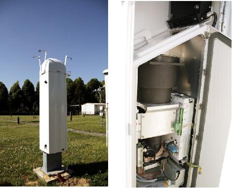
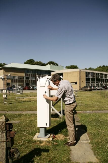
Since 2014 has the RMI a network with LIDAR-ceilometers, with which the cloud base and the vertical profile of the atmospherical aerosols are measured. Figure 1 shows a map of this network, which was installed to cover Belgium as good as possible and thus to complete the measurements of our LIDAR-ceilometer in Uccle since 2011.
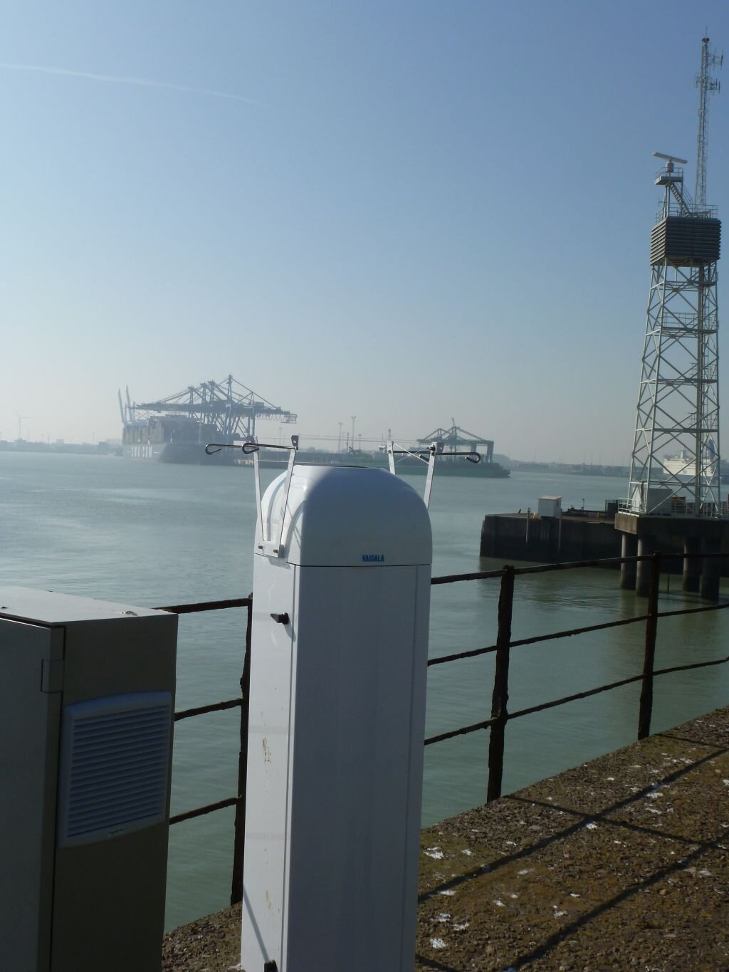
Furthermore, the LIDAR-ceilometers are also an important instrument to follow and to localize aerosol clouds that are generally located above the mixed layer. These clouds, mostly invisible for the human eye, can be from different origin. They can consist of ashes from volcano eruptions, like the Eyjafjallajökull in 2010, smoke from forest fires thousands of kilometers away from Belgium or sand from the Sahara. To determine the location, the dimensions and the characteristics of the particles or aerosol clouds, the network of LIDAR-ceilometers is crucial.

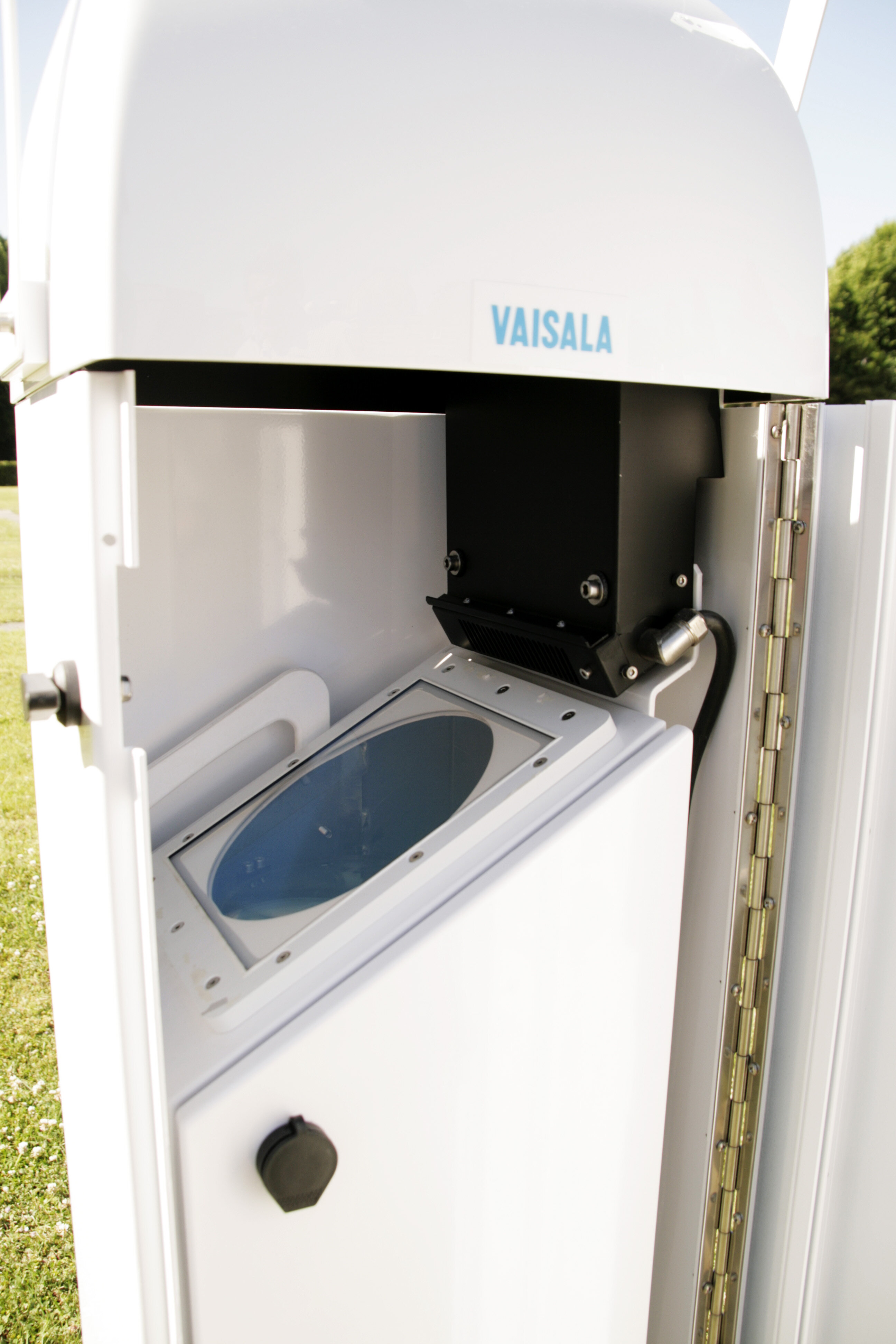
The LIDAR-ceilometer is originally designed to measure the height of the cloud base. Information about that height is crucial for the air navigation, but also for the weather forecast. Beside the normal usage LIDAR-ceilometers allow also to measure the height of the mixed layer close to the earth surface. This is the layer with the highest concentration of homogeneous distributed particles. Measurements of this height on different locations in Belgium are very important for the monitoring of the air pollution and the forecast for a pollution peak.